By Meteorologist Mike Skurko
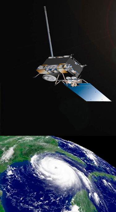
A few days ago, NOAA updated their hurricane outlook for the 2012 season. In the near future, the short-term forecasts…i.e. a few days before an actual hurricane strikes…will receive much improvement thanks to new satellites. The GOES-R satellite will be the first of four satellites launched as part of a new $10.6 billion dollar project.
The new GOES-R satellite will provide forecasters with an image of a hurricane every 30 seconds, not the standard 15 minutes only available right now. This will give forecasters an incredibly more detailed look at the complex processes within a hurricane…leading to better predictions of rapidly-intensifying, or rapidly-weakening hurricanes before striking onshore.
For a full explanation of the new satellites, as well as comments from hurricane specialists, visit this article from the Sun Sentinel in Fort Lauderdale, FL

Leave a comment